Advertisements
Advertisements
प्रश्न
Assertion (A): The satellite imagery is used for collecting data on environmental damage.
Reason (R): This data collection helps in marketing and selling of forest products.
विकल्प
Both A and R are true statements.
A is false and R is true.
Both A and R are true and R is the correct reason for A.
A is true but R is not the correct reason for A.
उत्तर
A is true but R is not the correct reason for A.
Explanation:
Satellite imaging may capture a variety of data, such as land cover, vegetation, soil, water, climate and biodiversity. Satellite imaging can be used to detect environmental harm on a global scale by examining changes in land cover and use over time.
APPEARS IN
संबंधित प्रश्न
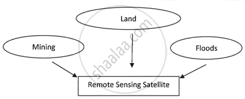
Remote sensing satellites are effective in environmental protection.
Give two reasons in support of your answer.
What is alternate technology?
State one benefit of alternate technology.
A satellite city is a ______.

Suggest five reasons why has the above technology become very prominent and beneficial.
