Advertisements
Advertisements
Question
On the outline map of Europe, use different colours to mark and label the following:
- Oceans—Arctic, Atlantic
- Seas—Mediterranean, Baltic, North Sea
- Straits—Dover, Gibraltar
- Plateau—Central Massif, Meseta
- Mountains—Alps, Pyrenees, Carpathians
- Rivers—Danube, Rhine, Volga
- Lakes—Ladoga, Onega, Vanern
- Capitals—Paris, Moscow, Berl
Solution

APPEARS IN
RELATED QUESTIONS
Briefly describe the location of Europe in relation to the other continents. What special advantage has Europe enjoyed due to its location?
What is the significance of the many big and small rivers of Europe?
Why did Africa remain unexplored for a long time?
Identify who I am:
I am a river that flows through the Namib Desert
Give the latitudinal extent of Africa and explain why it is mostly a tropical continent.
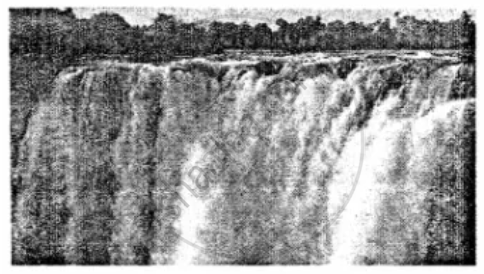
This is a photograph of Victoria Falls.

- Name the explorer who discovered it.
- On which river is this fall located?
Give geographical reasons:
The grasses of the savannah and the veldt are different.
What factors influence the climate of Africa?
Which breed of sheep is mainly reared in Australia?
Identify who I am.
I have a beautiful fan-tail and I can mimic very well.
