Advertisements
Advertisements
Question
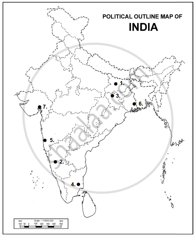
Locate and label any five of the following geographical features on the given political outline Map of India with appropriate symbols:
- A state with highest population density
- State leading in the production of coffee
- Hazaribagh: Copper mines
- Neyveli: Coal mines
- Ratnagiri: Iron ore mines
- Haldia: Major seaport
- Ahmedabad: Major international airport

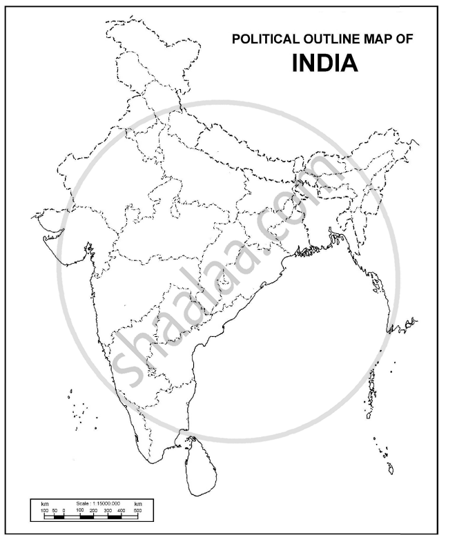
Map
Solution
- A state with the highest population density − Bihar.
- State leading in the production of coffee − Karnataka.
- Hazaribagh: Copper mines − Hazaribagh (Jharkhand).
- Neyveli: Coal mines − Neyveli − Tamilnadu.
- Ratnagiri: Iron ore mines− Ratnagiri is located in Maharashtra.
- Haldia: Major seaport −Haldia is located in West Bengal.
- Ahmedabad: A major international airport, Ahmedabad is located in Gujarat.
shaalaa.com
Is there an error in this question or solution?

