Advertisements
Advertisements
Question
How would you identify the following on a topo sheet: Pass
Solution
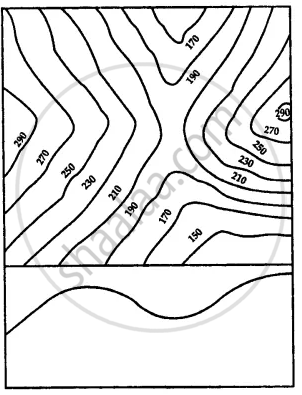
Passes are low valleys or opening lying between two peaks in a range of hills. A pass is indicated by a drop in height of contours.

APPEARS IN
RELATED QUESTIONS
What is a saddle?
Draw a diagram to show a cliff.
How is waterfall formed?
Identify the relief features shown by the following contour diagram

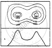
Identify the relief features shown by the following contour diagram

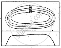
Identify the relief features shown by the following contour diagram

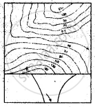
Identify the relief features shown by the following contour diagram

How would you identify the following on a topo sheet: Hill
How would you identify the following on a topo sheet: Gap
Fill in the blanks
If contour lines are drawn close together, it indicates ______ slope of the land and if they are drawn far apart, it indicates ______ slope.
