Advertisements
Advertisements
Question
What are Bench Marks?
Solution
These are heights, which are marked with letters BM, e.g., BM 942 m., on stones embedded on the ground, on prominent buildings or on rocks for permanent reference for survey purposes. They show the accurate heights which are determined after proper surveying. They are represented as:
(i) Triangulated Station: These are heights shown with the help of a triangle with the height mentioned next to it e.g. ∆ 549. The height is not very accurate as the distance on the ground are surveyed by angular measurement and calculated by trigonometry.
(ii) Spot Height: A small dot with the height printed next to it 549 can be seen all over the map. These represent the position on the ground of which the height has been accurately determined. It is a surveyed height and exists only on the map.
(iii) Relative Height: Relative height is the difference between the highest and the lowest elevation in area. A relative height e.g. 25r against a well is blue, indicate its depth in metre. A relative height e.g. 10r against an embankment in black shows the relative height of it in metres. The number is the height in metres.
APPEARS IN
RELATED QUESTIONS
Mention the important features of a river valley.
Show the different drainage patterns.
What are contours?
What does the spacing of contours indicate?
Write a short note on Contours.
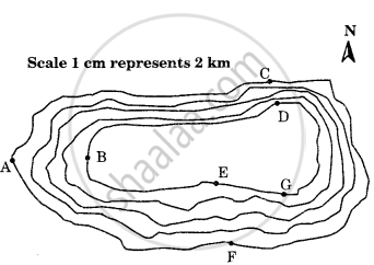
Study the contour pattern and answer the following questions.
- Name the geographical feature formed by contours.
- Find out the contour interval in the map.
- Find out the map distance between E and F and convert it into the ground distance.
- Name the type of slope between A and B; C and D and E and F.
- Find out the direction of E, D, and F from G.
Give the term used in contour for the following:
The numerical difference between two contour lines.
What do the contour lines represent?
How do the contour lines show the direction of the flow of rivers and streams?
