Topics
Field Visit
Location and Extent
Physiography and Drainage
- Physical Divisions of India
- The North Indian Mountains
- The Himalayas
- North Indian Plains
- The Peninsular Indian Plateau
- The Indian Coastal Plains
- The Indian Islands
- Physiography of Brazil
- Brazilian Highlands
- The Great Escarpment in Brazil
- Coastline of Brazil
- Brazilian Plains
- Brazilian Island
- Drainage of Brazil
- Drainage Systems of India
- Himalayan Rivers
- Peninsular Rivers
Climate
Natural Vegetation and Wildlife
Population
Human Settlements
Economy and Occupations
Tourism, Transport and Communication
Geography - Physical Divisions of India
Identification of Physical divisions
- Identification of Physical Divisions
Geography - North Indian Mountains
Himalayas
Associated mountains
- Concept of Associated Mountains
Geography - North Indian Plain Region
Deserts
- Desert
Western Plains
- Concept of Western Plains
Central Plains
- Concept on Central Plains
Delta region
- Concept of Delta Region
Eastern Plains
- Concept of Eastern Plains
Geography - Peninsular Plateau Region
Chhotta Nagpur Plateau
- Concept for Chhotta Nagpur Plateau
Malwa Plateau
- Concept on Malwa Plateau
Maharashtra Plateau
- Concept for Maharashtra Plateau
Karnataka Plateau
- Concept for Karnataka Plateau
Telangana Plateau
- Concept for Telangana Plateau
Geography - Western Ghats and Eastern Ghats
Eastern Ghats
- Concept on Eastern Ghats
Sahyadries
- Concept on Sahyadries
Geography - Coastal Region
- Geography - Coastal Region
Eastern coastal plain
- Coastal Region - Eastern Coastal Plain
- Concept for Western Coastal Plain
Western coastal plain
- Concept for Western Coastal Plain
Geography - Indian Islands
- Geography - Indian Islands
Eastern Islands
- Indian Islands - Eastern Islands
Western Islands
- Indian Islands - Western Islands
Geography - Practical 1
Cartography
- Concept on Cartography
Geography - Practical 2
Two dimensional diagrams
- Two Dimensional Shapes
One dimensional diagrams
- Concept on One Dimensional Diagrams
Economics - Introduction of an Economy
Introduction of an Economy
- Economy
- Types of Economy
- Main Features of Economy
Economics - Basic problems of an economy solution
Solutions
- Concept for Capitalism
- Concept for Socialism
- Mixed Economy
Problems
- Introduction of Basic Problems of an Economy
- Problems- for Whom to Produce
- Problem - How Much to Produce
- Problem - by Whom to Produce
Economics - Inflation
Introduction
- Introduction of Inflation
Effects of inflation
- Effects of Inflation
Measures of Inflation
- Measures of Inflation
Causes of inflation
- Causes of Inflation
Economics - Public distribution system and consumer protection
- Measures of Inflation
Public Distribution system - meaning and explanation
- Public Distribution System - Meaning and Explanation
Introduction
- Introduction of Public Distribution System and Consumer Protection
Objectives of Public Distribution system
- Objectives of Public Distribution System
Remedial Measures
- Remedial Measures Public Distribution System and Consumer Protection
Consumer Protection
- Consumer Protection - Rights and Duties of Cunsumer, Food Adulteration
Drawbacks of Public Distribution system
- Drawbacks of Public Distribution System
Progress of Public Distribution system
- Progress of Public Distribution System
- Amazon Basin
- Paraguay-Parana system
- Sao Francisco
- Coastal Rivers
Notes
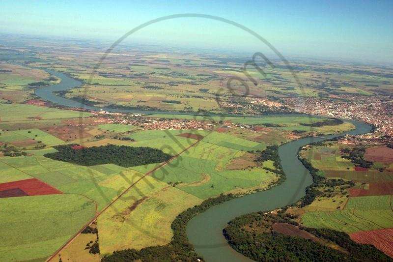
Drainage of Brazil:
|
Drainage of Brazil |

There are three major river basins in Brazil as far as drainage is concerned. These are:
- Amazon Basin
- Paraguay-Parana system in the southwest
- Sao Francisco in the eastern part of the highlands, as well as other rivers on the coasts
1) Amazon basin:
|
Amazon River |
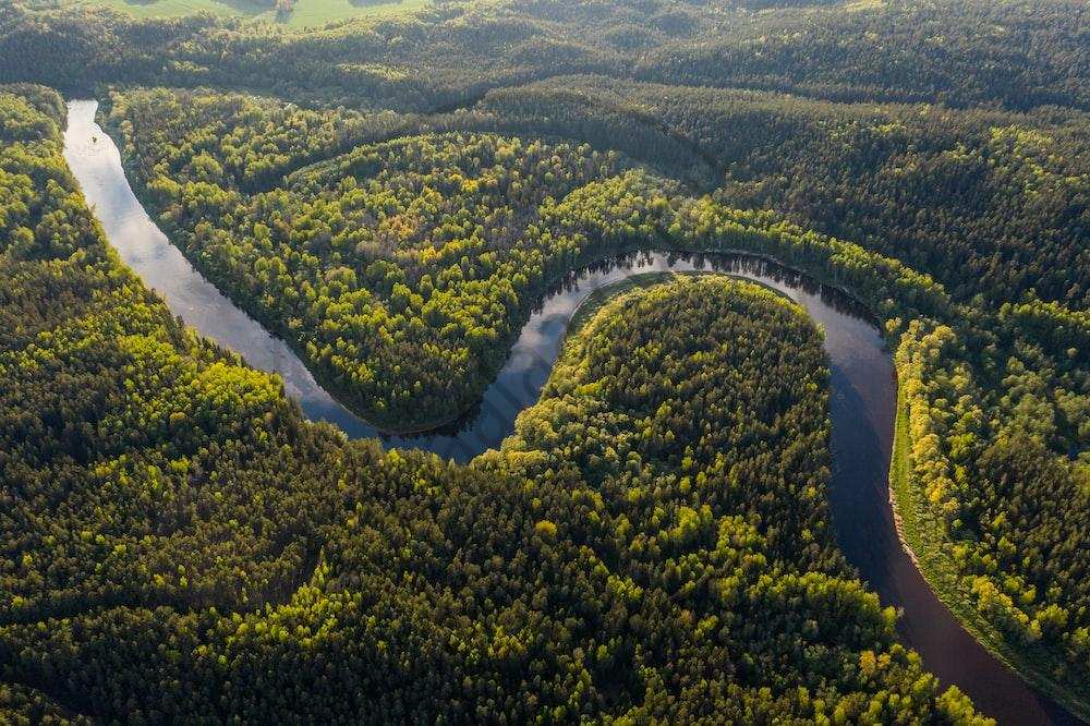
- Total catchment area : 70, 50, 000 sq.km.
- Total length of river : 6,400 kms
- Water discharge : 2,09,000 Cu.m. per sec
- The Amazon River gets its water from the eastern slopes of Peru's Andes Mountains.
- The Amazon River receives a massive discharge. This is about 2 lakh m3/s.
- As a result, Amazon washes away the load supplied by the catchment.
- Consequently, even at the mouth, sediments are not deposited.
- A dense network of distributaries, which is typical of river mouth areas, is largely absent in the Amazon mouth region.
- Instead, we find a series of islands formed along the Amazon River's mouth beyond the coastline into the Atlantic Ocean.
- It's worth noting that the Amazon channel is 150 kilometers wide at its mouth.
- Most of the course of the Amazon River is suitable for navigation.
2) Paraguay-Parana system:
|
Paraguay-Parana system |
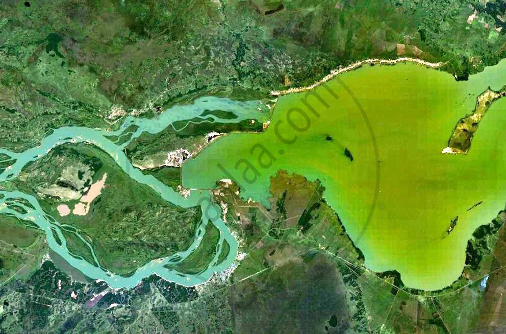
- The Paraguay-Paraná-Plata is Brazil's second-largest river system, draining large areas of Bolivia, Paraguay, Argentina, and Uruguay.
- These two rivers are located in southwestern Brazil.
- These two rivers, as well as the Uruguay River in the extreme south of the highlands, get their water from the southern portion of the highlands.
3) Sao Francisco:
|
Sao Francisco |
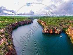
- It is Brazil's third most important river.
- This river's entire basin is located in Brazil.
- It is located in the highlands' eastern region.
- The river flows towards the north for a distance of about 1000 km over the plateau and then takes a sharp eastward turn to enter the coastal strip along the Atlantic Ocean.
- In its downstream reaches, the river is navigable for about 250 kilometers.
4) Coastal Rivers:
|
Itapecuru |
Paraniba |
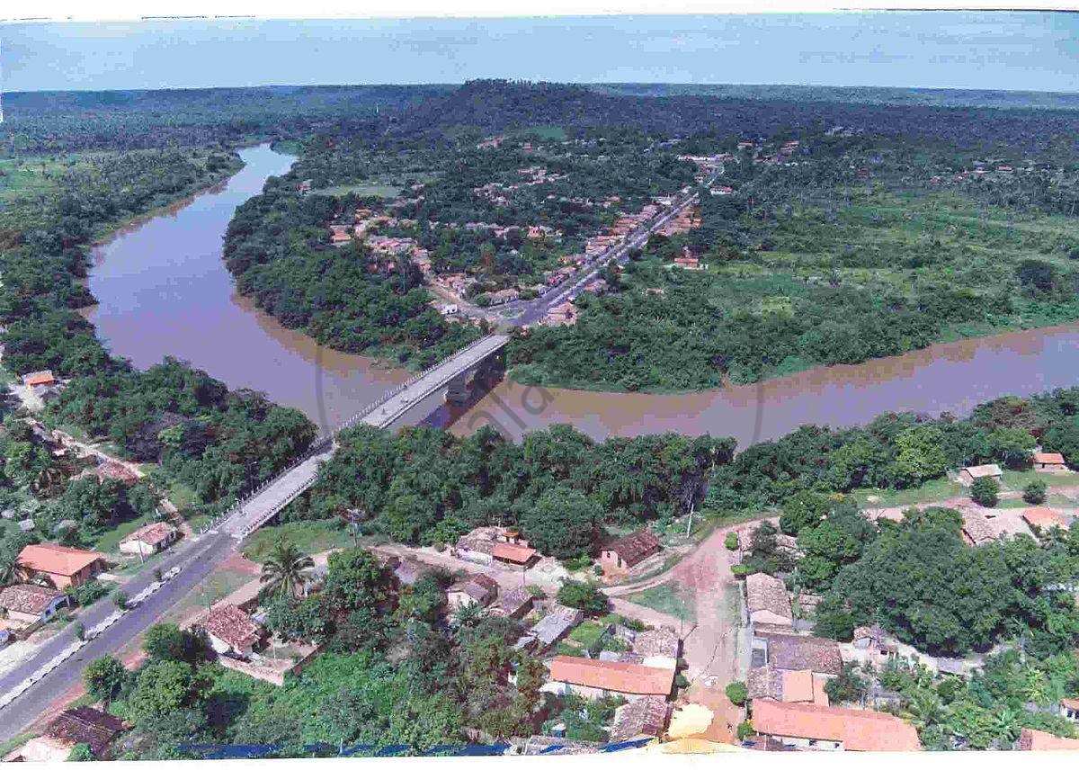
- A number of short coastal rivers are part of Brazil.
- These rivers are important because the coastal area is densely populated.
- The rivers Paraniba and Itapecuru, which flow north, meet the North Atlantic Ocean.
- The rivers that flow into the South Atlantic Ocean have their origins along the escarpment.
- The Puraguaco River flows into the Atlantic Ocean near Salvador.
If you would like to contribute notes or other learning material, please submit them using the button below.

